| License Cost | $599 | $1,449 (includes both licenses) |
| Support for importing and exporting 300+ file formats |  |  |
| Access to online data sources for streaming imagery, basemaps, terrain, and vector data |  |  |
| Vector drawing, editing, analysis, and spatial operations |  |  |
| Attribute editing, joining, calculation, graphing, and querying |  |  |
| Thematic and choropleth mapping |  |  |
| Map design and pre-print layout |  |  |
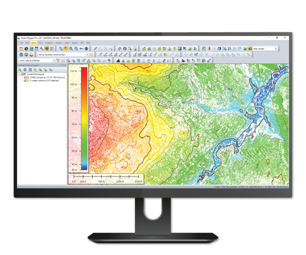
| Lidar display, filtering, and manual editing |  |  |
| Terrain creation and modification |  |  |
| Terrain analysis, including contour generation, line of sight, viewshed, watershed, and flood simulation |  |  |
| Volume calculation, pile volume estimation, cut and fill analysis, and change detection |  |  |
| Immersive 3D visualization, 3D data creation and editing, fly through recording, and layer animation |  |  |
| Image rectification |  |  |
| Image blending, feathering, cropping, and pan sharpening |  |  |
| Image and raster reclassification |  |  |
| Raster calculation Including NDVI, NDWI, NBR, and custom formulas |  |  |
| Address geocoding |  |  |
| Batch file conversion and workflow automation with Global Mapper scripts |  |  |
| Integration with Global Mapper Mobile app |  |  |
| GPS support for tracking and data collection |  |  |
| Image blending, feathering, histogram matching, cropping and pan sharpening |  |  |
| Terrain painting | |  |
| Breakline calculation | |  |
| Advanced querying, editing, segmenting, and filtering of lidar and 3D point clouds | |  |
| Automatic classification of point cloud data including ground, vegetation, buildings, power lines, and poles | |  |
| Vector feature extraction from classified point cloud data | |  |
| Lidar noise identification and removal | |  |
| Variography and Kriging | |  |
| Point cloud thinning and vertical and horizontal rectification of point cloud data | |  |
| Automatic alignment of overlapping point clouds | |  |
| Visual analysis of point cloud data, including by local density, height above ground, intensity, and classification | |  |
| Point cloud profiling | |  |
| Pixels to Points® – Drone/UAV imagery processing to create 3D point clouds, orthoimage, and 3D model | |  |
| Advanced automated vectorization of imagery and terrain | |  |
| Support for RTK devices and display of satellite constellation | |  |
| Built-in editor for Global Mapper scripts | |  |
| Support for Python scripting | |  |
| Script Builder tool to record actions in Global Mapper Script | |  |
| Streamlined mobile data merging | |  |


